Accueil Visitez notre boutique Nos formations Optical Images Radar Elevation models
Radar

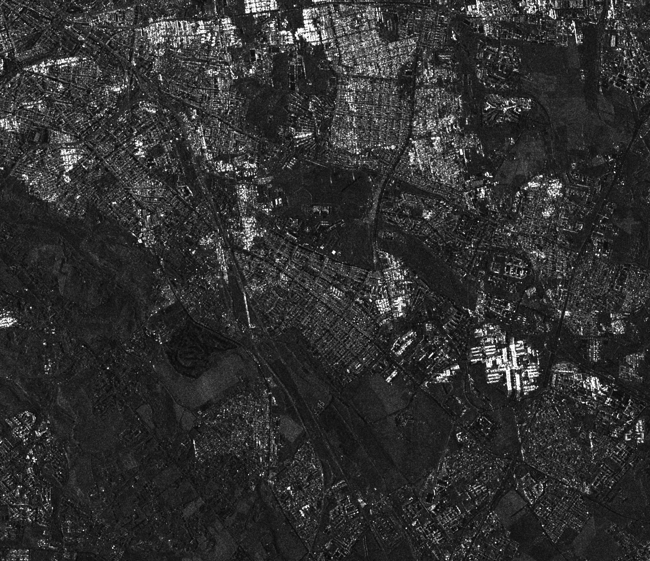
Several Earth observation satellites are equipped with radar sensors. Capable of crossing clouds and operating even at night, they provide very useful images. Very far from a natural vision, they are difficult to interpret.

TERRA SAR-X Order TERRA SAR-X
Description

TERRA SAR-X

TERRA SAR-X

TerraSAR-X is the bearer of an X-band SAR radar, with single and double polarization options. There is an additional quad polarization option for mission-specific captures. The TerraSAR-X Staring Spotlight mode offers the highest spatial resolution currently available on a commercial space SAR system. The TerraSAR-X Staring Spotlight mode allows for more accurate assessment of human made objects. The image measurements of size, shape and positions are more precise, the target interpretation is more reliable. The scientific objectives are to provide high-resolution, multi-mode X-band data for a wide range of scientific applications.

More Information
TERRA SAR-X Caractéristiques
Modes
  • High resolution (single/dual) SpotLight
  • SpotLight
  • (single/double) StripMap (single/double)
  • ScansAR
  • Wide ScansAR
  • Watch SpotLight
  • Rated resolution
  • High Resolution SpotLight (Single):
  • 1m High Resolution SpotLight (Dual): 2m
  • SpotLight (Single): 2m
  • SpotLight (Dual): 4m
  • StripMap (Single): 3m
  • StripMap (Dual): 6m
  • ScanSAR: 18.5m
  • Bandwidth
  • High resolution (single) SpotLight:
  • 10km High Resolution SpotLight (Dual): 10km
  • SpotLight (single): 10km
  • SpotLight (Dual): 10km
  • StripMap (Single): 30km
  • StripMap (Dual): 15km
  • ScanSAR: 100km
  • Tape
  • X- Tape
  • Polarization
  • High resolution (single) SpotLight: HH or
  • VV High Resolution SpotLight (Dual): HH + VV
  • SpotLight (Single): HH or VV
  • SpotLight (Dual): HH + VV
  • StripMap (Single): HH or VV
  • StripMap (Dual): HH + VV or HH + HV or VV + VH
  • ScanSAR: HH or VV
  • Nominal eye direction
  • High resolution (single) SpotLight: 20-55
  • High Resolution SpotLight (Dual): 20-55 degrees
  • SpotLight (single): 20-55 degrees
  • SpotLight (Dual): 20-55 degrees
  • StripMap (simple): 20-45 degrees
  • StripMap (Dual): 20-45 degrees
  • ScanSAR: 20-45 degree
  • Card image
    Very High Spatial Resolution Image of 50cm
    Card image
    Get native natural color images
    Card image
    Many archive images
    Card image
    AirBUS DS Products
    Domaines d'applications

    • Hydrology
    • Geology
    • Climatology
    • Oceanography
    • Environmental and disaster monitoring
    • Mapping (DEM generation)